Authors
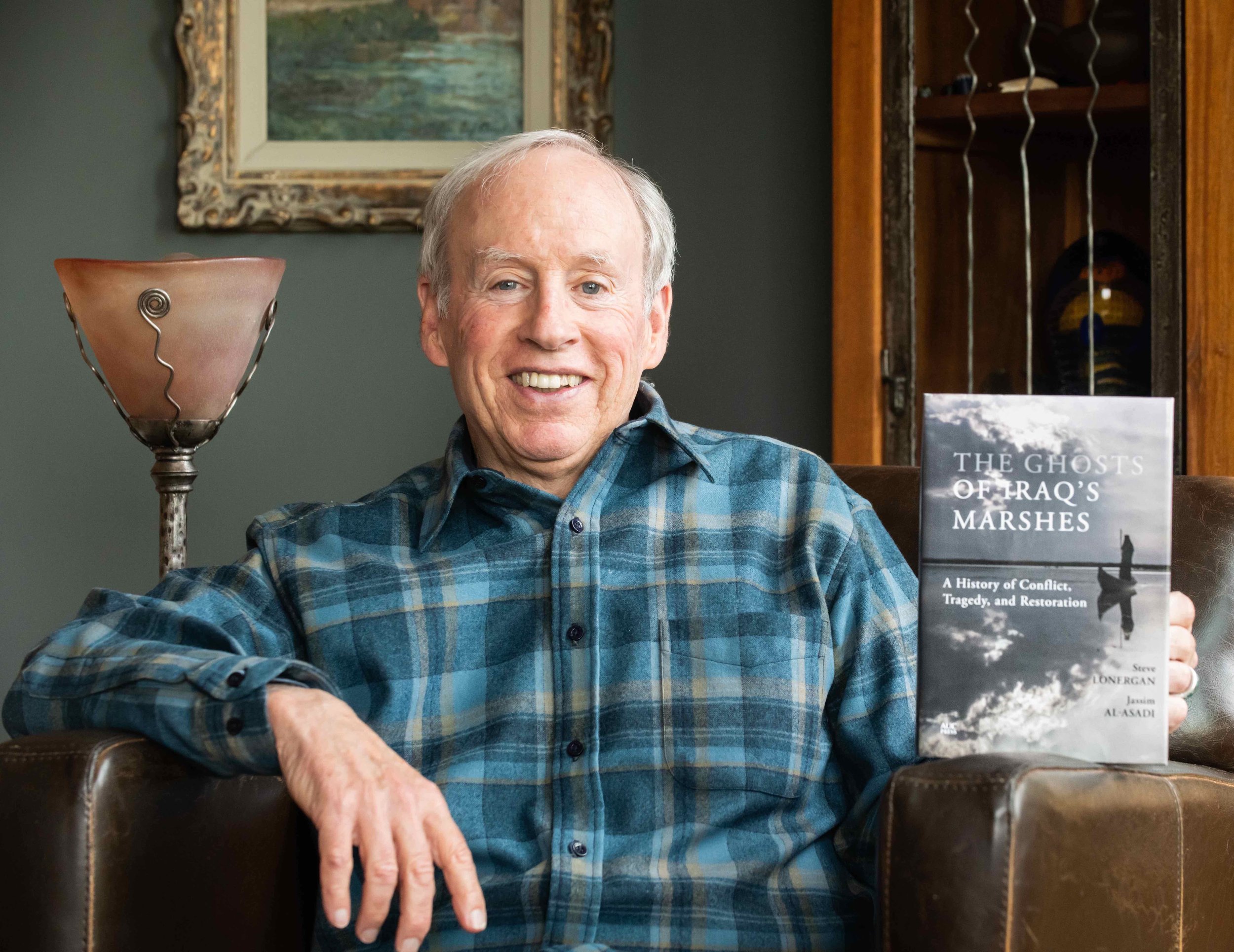
Steve Lonergan
Jassim Al-Asadi talking to a Ma’di about the dry marsh.
Steve Lonergan is a Professor Emeritus in the Department of Geography, Univ. of Victoria, Victoria, BC, Canada. He holds a B.Sc. from Duke University and an M.A. and Ph.D. from the University of Pennsylvania. From 2003 – 2005, he was Director of the Science Division at the UN Environment Programme in Nairobi, Kenya. From 2006 – 2010, Professor Lonergan led the Canada/Iraq Marshlands Initiative, a project focused on helping restore the Marshes of southern Iraq. His books include Watershed: The Role of Water in the Israeli/Palestinian Conflict (with D. Brooks, 1994), Riding in a Matatu (2012), and From the Mouth of a Dog (2015). In addition to his writing, he is an avid banjo player and long-distance cyclist and lives with his wife in Victoria, British Columbia.
Jassim Al-Asadi is an environmental activist and consulting engineer who was born on one of the artificial islands in the Marshes of southern Iraq in July 1957. He obtained his B.A. in Engineering from the University of Technology in Baghdad before embarking on a career in irrigation pumping station engineering, first working for the Governorate of Thi Qar and then for the Iraqi Ministry of Water Resources and their Center for the Restoration of the Iraqi Marshes and Wetlands. After 2003, Jassim’s work focused on restoring the Iraqi Marshes and he played a pivotal role in the registration of the Marshes as a World Heritage Site by UNESCO in 2016. He has authored dozens of articles on water, environment, and wetlands, and reported on the Marshes for the printed media and television. Jassim remains active on committees involved in the Ramsar Convention on Wetlands and the UNESCO World Heritage Site. He is presently Director of Nature Iraq, the leading environmental non-governmental organization in the country. (https://www.facebook.com/jassim.alasadi.1)
Contributing author Keith Holmes is a geospatial scientist at the Hakai Institute in Victoria, BC, Canada. He holds a B.Sc. and an M.Sc. from the University of Victoria and specializes in all things related to cartography and remote sensing. From 2008 – 2010 he worked as the director of GIS and remote sensing for the Canada/Iraq Marshlands Initiative. His research and publications relate to habitat monitoring, mapping archaeology sites, and flying drones for scientific studies. www.maptalker.org

